Fire lookout · Amador County, California
Mount Zion Lookout
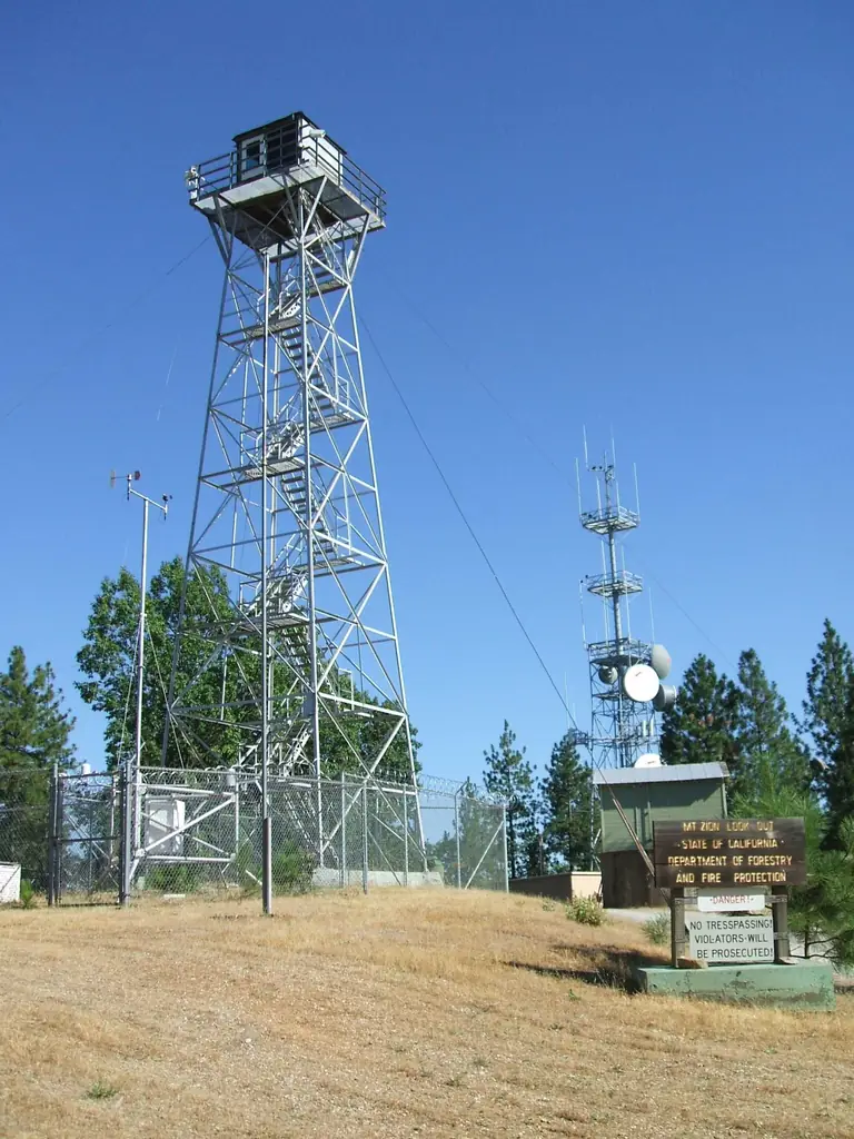
Amador County lookout tower erected by the State in 1930 near Pine Grove; NHLR-registered 2019; a May 2020 visit report says Cal Fire V.I.P. staffing was planned from June 1, 2020.
- Standing
- Restricted access
- Verified
Visit & stay
Not rentable. As far as we know, this lookout cannot be booked for overnight stays.
Access
Restricted access
Access is seasonal, gated or needs a permit. Check before you go. Locked gate blocks vehicles up to the tower except Cal Fire, Cal Fire V.I.P. and repeater vault access; per the May 14, 2020 visit report the tower itself is not open to the average visitor
- Can you climb it?
- No
- Road to the top?
- No, you have to hike
- Trail
- Parking at the intersection of Mount Zion Rd. and Lookout Rd.; trails and a gravel road lead near the tower; people could walk up to the tower fence as of May 2020
- Staffing
- Unknown
Facts
- Status
- Type
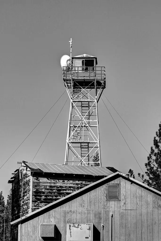
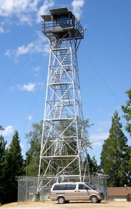
- Cab on a towerAermotor Company tower erected by the State in 1930; BC-201 lookout residence built under the ECW program; office, water tower and garage that may date from 1932House: BC-201; tower: Aermotor
- Built of
- SteelGoing by its design; no source says so in words.
- Built
- 1930
- Height
- Unknown
- Elevation
- 2,969 ft (905 m)
- Agency
- California Department of Forestry and Fire Protection (Cal Fire)
- Land
- Unknown
- Location
- Amador County, California
- Coordinates
- 38.38931, −120.65219
- Registers
- This entry
- VerifiedResearched, then checked independently. Updated 8 Oct 2026.
- Firefinder id
us-ca-mount-zion
View from the cab
What you see from the cab: every ridge out to about 93 miles, the named peaks in sight, and other fire lookouts within view, worked out from terrain data in your browser.
Downloads about 3.3 MB of terrain data the first time.
Or see what it could see on the map: the ground in its line of sight.
History
Then and now
- 1927 EventMount Zion selected by state forestry officials as the most desirable lookout siteSource: californialookouts.weebly.com
- 1928 First staffedlookout station near Pine Grove in use by June 1928; the man in charge located fifteen fires from June 9 to early JulySource: californialookouts.weebly.com
- 1930 BuiltRegister: Aermotor Company tower erected by the State; newspapers: steel tower, county contributed $250, 50 feet taller than the old stationSources: nhlr.org, californialookouts.weebly.com
- 1930 Eventdedication reported two ways: a Sunday ceremony expected in an April 30, 1930 notice, and a Friday afternoon dedication in a June 3, 1930 reportSource: californialookouts.weebly.com
- 1931 EventRegister: SERA camp set up here in the winter of 1931-32; later converted into a CCC campSource: nhlr.org
- 1932 EventRegister: office, water tower and garage may have been built in 1932Source: nhlr.org
- No record between 1932 and 2019
- 2019 Added to the National Historic Lookout RegisterRegistered October 15, 2019 as US 1306, CA 129Source: nhlr.org
- 2020 StaffedMay 14, 2020 visit report: Cal Fire V.I.P. volunteers staffing planned from June 1, 2020Source: nhlr.org
- TodayStandingIt still stands, as far as our sources know.
Old maps of this spot
USGS topographic maps from the years a lookout stood may show it, often as a small symbol labelled “Lookout”. See the old topo maps around it on the Firefinder map, or find every scanned sheet of this spot on USGS TopoView (opens another site) (click the spot there to list them, with dates and downloads).
Story
Researched 8 Oct 2026, fact-checked.
Mount Zion rises about 2,969 feet in Amador County, within the Mt. Zion State Forest, and Cal Fire administers the lookout.1 A 1928 report placed the station near Pine Grove, though a 1930 item said near Jackson.2
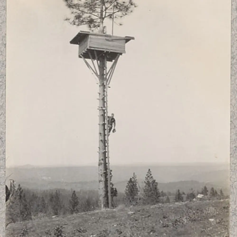
State foresters selected Mount Zion in 1927 as the most desirable site, and a station was in use by June 1928.2 A July 1928 report said the man in charge had located fifteen fires from June 9 onward.2
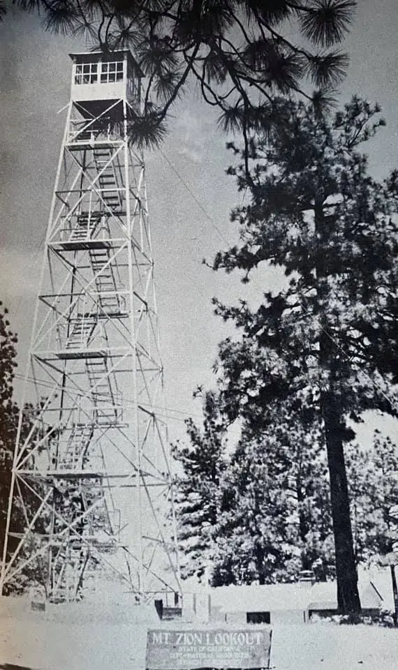
The State erected an Aermotor Company tower in 1930, and Amador County contributed $250 toward the structure.1,2 A December 1929 notice had said the tower would be seventy feet high, and a February 1930 report said it stood 50 feet higher than the old station.2
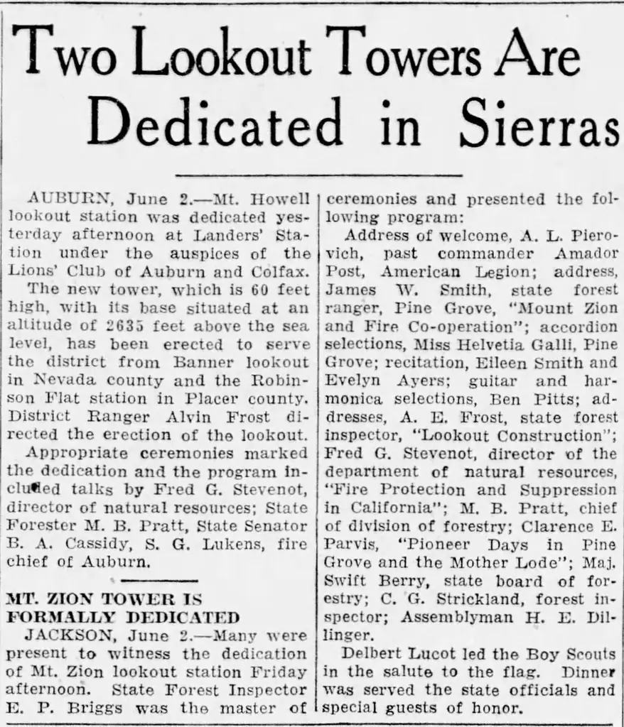
Newspapers gave different dates for the dedication.2 An April 1930 notice expected a Sunday ceremony, while a June 3 report described one held on a Friday afternoon.2 A 1930 item reported that the name came from five ministers who had mined the area.2
Winter 1931-32 saw a SERA camp at the site, which later became a CCC camp.1 Under the ECW program, a BC-201 lookout residence went up, and an office, water tower and garage may date from 1932.1
A May 2020 visit report said Cal Fire V.I.P. volunteers were to staff the tower from June 1, 2020, and that a locked gate stops vehicles short of it.1 The same report said the tower itself was not open to the average visitor, though people could walk up to its fence.1
The Register says the buildings keep a high degree of integrity, and it recorded the site on October 15, 2019 as US 1306, CA 129.1 The shutters are gone, and the cabin was being renovated for staffing in 2020.1
The sources I read do not mention a rental, and none says the tower is open to the public now, so check with Cal Fire before planning a visit.1,2
- Mount Zion Lookout, National Historic Lookout Register (nhlr.org), http://nhlr.org/lookouts/us/ca/mount-zion-lookout/ (accessed 2026-10-08). ↩
- Mt Zion, Forest Lookouts (californialookouts.weebly.com), https://californialookouts.weebly.com/mt-zion.html (accessed 2026-10-08). ↩
Photos
Photos keep their own rights and are shown with credit. Is one of these yours? You can ask for a different credit or for removal.
Sources
- National Historic Lookout Register (NHLR) (opens another site) Gave us: name, location, county, elevation, what it is built of, register numbers, agency, dates, photos, links National Historic Lookout Register (nhlr.org) · All rights reserved (American Resources, Inc.); facts extracted only, no prose copied. · retrieved 4 Oct 2026
- Forest Fire Lookout Association (FFLA) - US lookout lists (opens another site) Gave us: type, status, register numbers, links Forest Fire Lookout Association (firelookout.org) · No licence stated; facts extracted only, no prose copied. · retrieved 8 Oct 2026
- FOREST LOOKOUTS -- western US (Ron Kemnow's weebly sites) (opens another site) Ron Kemnow's Forest Lookouts sites (westlookouts, californialookouts, idaholookouts, montanalookouts, oregonlookouts and washingtonlookouts .weebly.com) · No licence stated; facts only (county, land manager, status word, coordinates where the page's own map widget gives them, township-range-section, height and design hints, links). The site's own newspaper quotes, citations and narrative are not reproduced. · retrieved 8 Oct 2026
- Firefinder research Gave us: summary, design, status, agency, access, visiting details, dates, links, fact-check Firefinder research (sources cited in the story footnotes) · Our own research notes; each fact cites its source in the lookout's story
More about this lookout elsewhere
- NHLR register entry US 1306 (nhlr.org) (opens another site)
- FFLA California lookout list (firelookout.org) (opens another site)
- Mount Zion Lookout - Forest Lookouts Page (opens another site)
Firefinder takes facts (places, dates, numbers) from these sources and writes its own words. See all sources and licences.