Fire lookout · Columbia County, New York
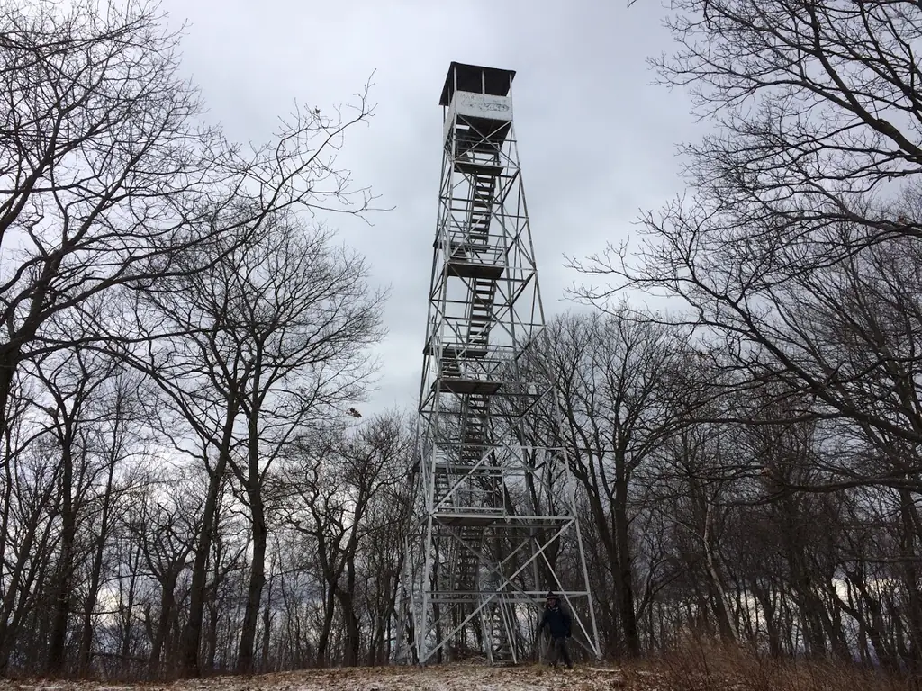
Beebe Hill Fire Tower
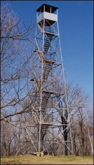
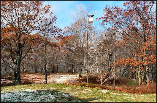
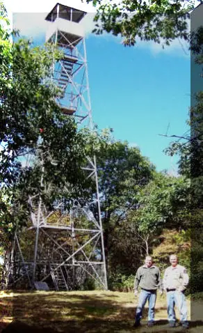
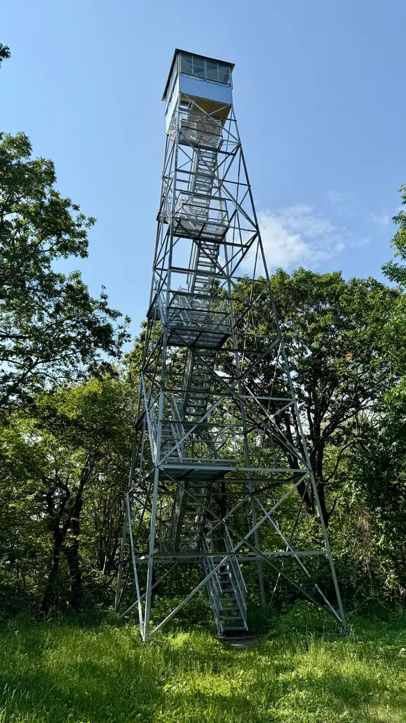
A 1928 Aermotor LS-40 moved from Alander Mountain to Washburn and then Beebe Hill; operated until 1987, registered 1997, and recently restored.
- Standing
- Open to the public
- Verified
Visit & stay
Not rentable. As far as we know, this lookout cannot be booked for overnight stays.
Access
Open to the public. NYSDEC forest page describes the fire tower as open to the public; Wikipedia reported it deemed unsafe as of late 2024. Check NYSDEC before climbing.
- Can you climb it?
- Unknown
- Road to the top?
- No, you have to hike
- Trail
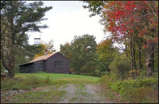
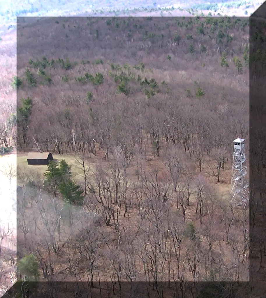
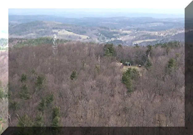
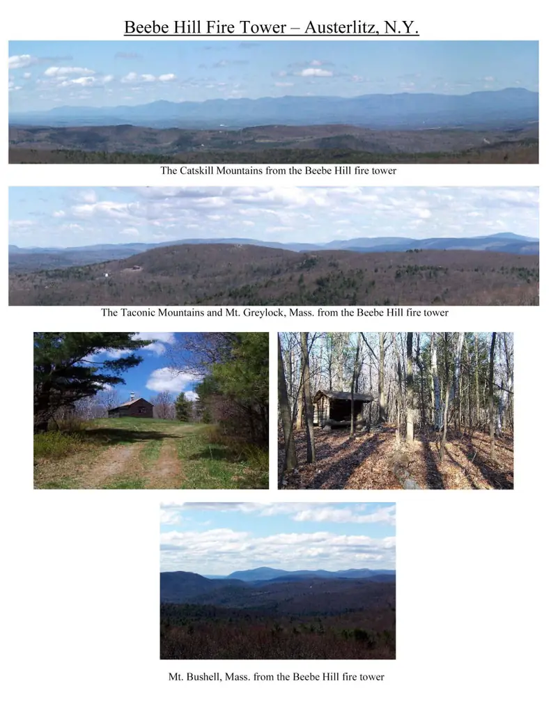
- Reached on the multiple-use trails of the Beebe Hill and Harvey Mountain state forests from parking areas; a public lean-to sits just off the summit along the main trail.
- Staffing
- Unknown
Facts
- Status
- sources disagree
- Type
- Cab on a towerAermotor LS-40 tower, 60 ft as first erectedThe design: Aermotor LS-40
- Built of
- Not recorded
- Built
- 1928
- Height
- Unknown
- Elevation
- 1,726 ft (526 m)
- Agency
- NY Dept. of Environmental Conservation
- Land
- State land
- Location
- Columbia County, New York
- Coordinates
- 42.33589, −73.48615
- Registers
- This entry
- VerifiedResearched, then checked independently. Updated 8 Oct 2026.
- Firefinder id
us-ny-beebe-hill
View from the cab
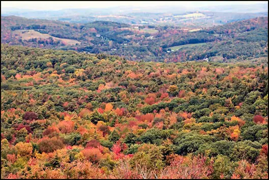
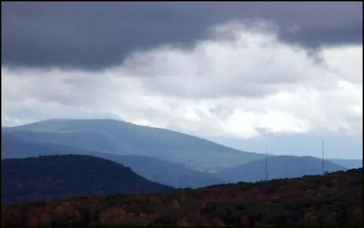
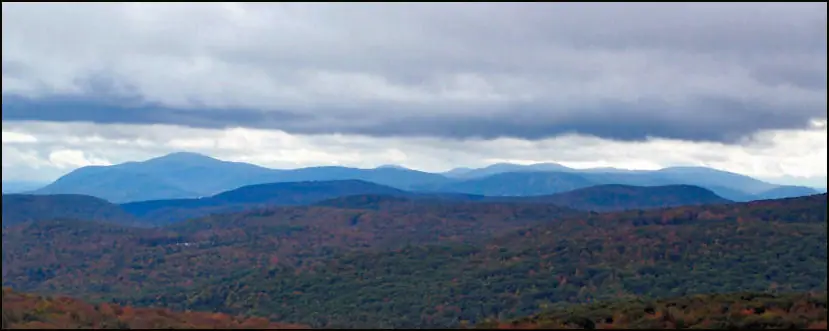
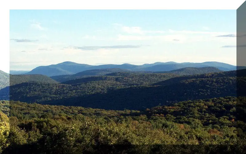
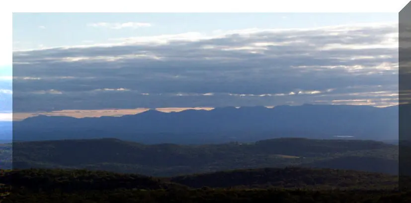
What you see from the cab: every ridge out to about 93 miles, the named peaks in sight, and other fire lookouts within view, worked out from terrain data in your browser.
Downloads about 3.9 MB of terrain data the first time.
Or see what it could see on the map: the ground in its line of sight.
History
Then and now
- 1928 BuiltAermotor LS-40 60-foot tower erected on Alander Mountain by the Taconic State Park Commission, just inside Massachusetts, to detect fires on park landSources: nhlr.org, en.wikipedia.org
- 1930 RemovedAlander area burned; landowner asked for removal; park staff dismantled the tower and stored it at the High Falls facilitySource: nhlr.org
- 1933 MovedRe-erected on Washburn Mountain inside park boundariesSources: nhlr.org, en.wikipedia.org
- 1935 EventOperation turned over to Forest Fire Control about 1935Source: nhlr.org
- No record between 1935 and 1963
- 1963 MovedDismantled by Forest Rangers in November 1963 and flown by helicopter to Beebe Hill; Wikipedia gives 1964Sources: nhlr.org, en.wikipedia.org
- No record between 1963 and 1987
- 1987 ClosedBeebe Hill lookout closed; operation ended in 1987Sources: nhlr.org, en.wikipedia.org
- 1997 Added to the National Historic Lookout RegisterRegistered December 15, 1997 as US 242, NY 19Source: nhlr.org
- 2006 EventFFLA restoration grant awarded for completing restoration of the Beebe Hill tower and observer cabin (cabin interior to become a museum; bolts, railings, painting).Source: firelookout.org
- 2008 AlteredWire safety meshing was installed around each landing platform of the Beebe Hill tower, in addition to the raised handrails.Source: firelookout.org
- 2008 RestoredWork began April 5, 2008 with Ironworkers Local 10: new bolts and nuts on the X-braces and handrails raised to 42 inches with mid-rails on all landings and stairways.Source: firelookout.org
- 2022 ClosedNYSDEC closed Beebe Hill tower after a windstorm blew part of the roof off, pending repairs.Sources: nysffla.org, nysffla.org, nysffla.org
- 2025 RestoredRecently restored as of 2025; wooden stairs replaced with metalSource: nhlr.org
- TodayStandingIt still stands, as far as our sources know.
Old maps of this spot
USGS topographic maps from the years a lookout stood may show it, often as a small symbol labelled “Lookout”. See the old topo maps around it on the Firefinder map, or find every scanned sheet of this spot on USGS TopoView (opens another site) (click the spot there to list them, with dates and downloads).
Story
Researched 8 Oct 2026, fact-checked.
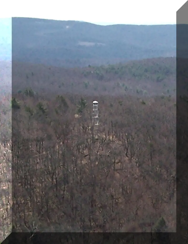
The Beebe Hill tower has stood on three sites, and it spent its first decades on other mountains.1 The Taconic State Park Commission put up a 60-foot Aermotor LS-40 on Alander Mountain in 1928, just inside Massachusetts, to watch for fires on park land.1,2 In 1930 the Alander land burned, and its owner asked that the tower be taken away. Park staff dismantled it and stored it, then re-erected it on Washburn Mountain, inside park boundaries, in 1933.1,2
Forest fire control took over operation around 1935 and ran the tower on Washburn until 1963.1 In November 1963, Forest Rangers took it down and flew it by helicopter to Beebe Hill, where it was re-erected.1 Wikipedia dates that final move to 1964, so the two sources disagree on the year.2
The Beebe Hill lookout ran until it closed in 1987.1,2 It was entered on the National Historic Lookout Register on December 15, 1997.1
A visit report from December 2016 found the tower in good condition, but the watchman's cabin had been vandalized. After the damage was reported to DEC, the cabin was to be closed up again.1 The NHLR reports a recent restoration as of 2025, in which wooden stairs were replaced with metal.1 Wikipedia reported in late 2024 that the state forest's website had deemed the tower unsafe.2 By contrast, the state's current forest page presents the tower as open to visitors.2,3
Together the state forests feature about 30 miles of multiple-use trails, reached from several parking areas, and hikers can use a public lean-to near the summit, beside the main trail.3 Because the sources disagree on the tower's current condition, check with NYSDEC before you plan a climb.
- Beebe Hill Fire Tower, National Historic Lookout Register, http://nhlr.org/lookouts/us/ny/beebe-hill-fire-tower/ (accessed 2026-10-08). ↩
- Beebe Hill State Forest, Wikipedia, https://en.wikipedia.org/wiki/Beebe_Hill_State_Forest (accessed 2026-10-08). ↩
- Beebe Hill and Harvey Mountain State Forests, New York State Department of Environmental Conservation, https://dec.ny.gov/places/beebe-hill-and-harvey-mt-state-forests (accessed 2026-10-08). ↩
Photos
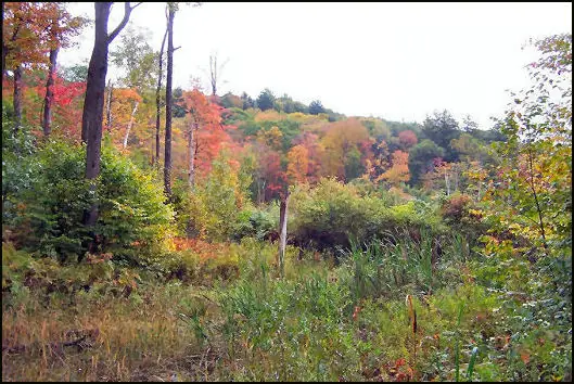
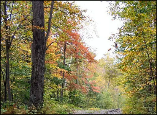
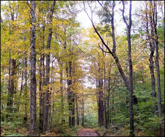
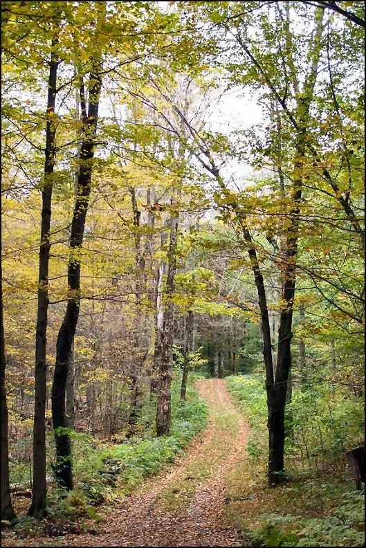
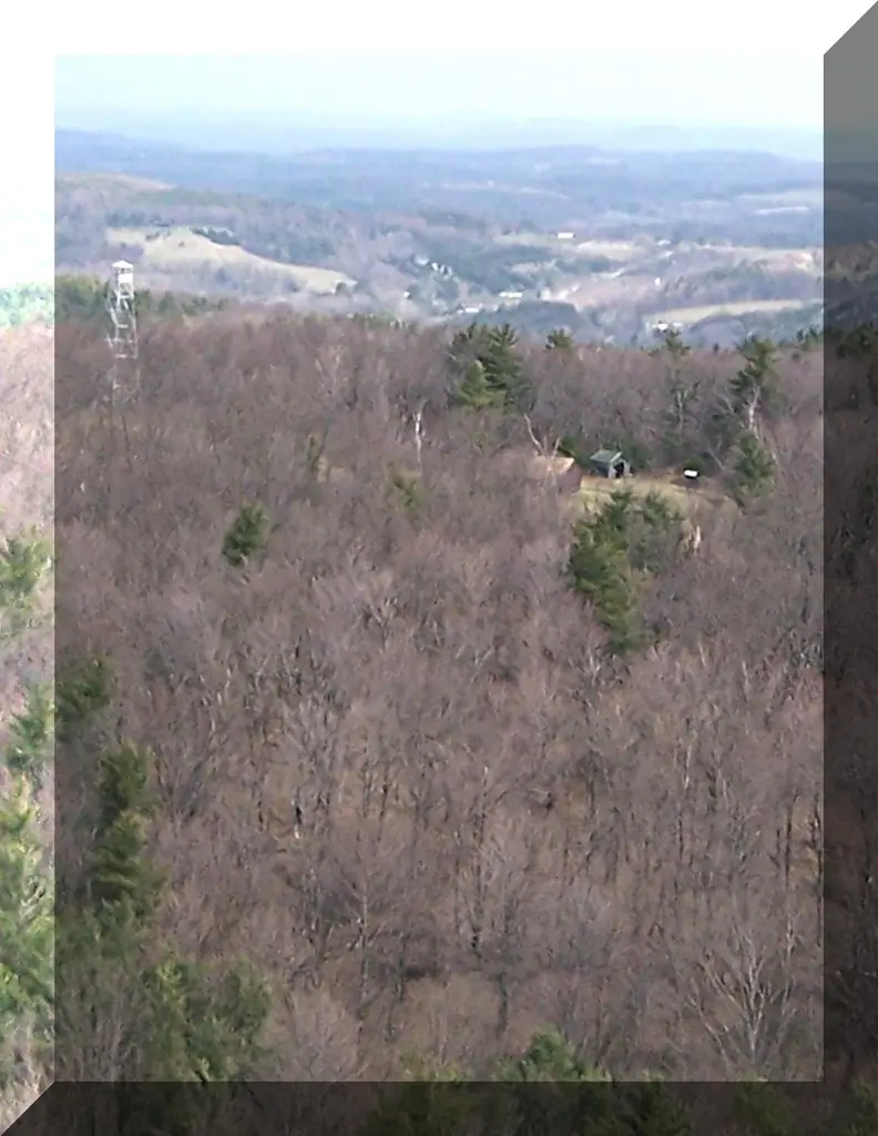
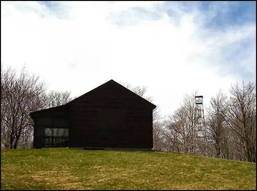
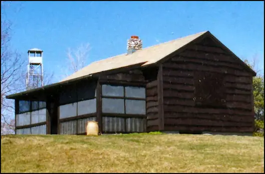
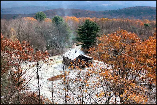
Photos keep their own rights and are shown with credit. Is one of these yours? You can ask for a different credit or for removal.
Where sources disagree
We show disagreements between sources instead of quietly picking one. If you know which is right, please tell us.
Sources disagree on whether it still stands.
- FFLA: Standing
- NHLR: Standing
- Map and Coordinates List for NYS DEC Firetowers (Andy Arthur): Standing
- OpenStreetMap: Standing
- FOREST LOOKOUTS -- eastern US (easternuslookouts.weebly.com): Gone
NHLR lists lookouts that were standing when registered.
Sources
- National Historic Lookout Register (NHLR) (opens another site) Gave us: name, location, county, elevation, register numbers, agency, dates, photos, links National Historic Lookout Register (nhlr.org) · All rights reserved (American Resources, Inc.); facts extracted only, no prose copied. · retrieved 4 Oct 2026
- Forest Fire Lookout Association (FFLA) - US lookout lists (opens another site) Gave us: type, status, register numbers, links Forest Fire Lookout Association (firelookout.org) · No licence stated; facts extracted only, no prose copied. · retrieved 8 Oct 2026
- Map and Coordinates List for NYS DEC Firetowers (Andy Arthur) (opens another site) Gave us: ownership, links Andy Arthur, andyarthur.org (CC BY 3.0) · CC BY 3.0, credit: Andy Arthur, andyarthur.org. Facts + short description text reused under that licence. · retrieved 4 Oct 2026
- FOREST LOOKOUTS -- eastern US (easternuslookouts.weebly.com) (opens another site) Gave us: links easternuslookouts.weebly.com · No licence stated; facts only (county, coordinates where the page's own map widget gives them, status, height, design hints, register links). The site's own historical quotes, newspaper citations and narrative are not reproduced. · retrieved 8 Oct 2026
- Forest Fire Lookout Association, New York State Chapter (opens another site) Gave us: dates, links Forest Fire Lookout Association, New York State Chapter (nysffla.org) · No licence stated; facts only (dates, names, the kind of work done). Every note is our own wording and every event links to the chapter newsletter it comes from. Positions are copied from the NHLR and FFLA records (the chapter publishes none). · retrieved 8 Oct 2026
- Forest Fire Lookout Association chapter reports (opens another site) Gave us: dates, links Forest Fire Lookout Association, chapter and restoration-grant reports (firelookout.org) · No licence stated; facts only (dates, names, the kind of work done). Every note is our own wording and every event links to the FFLA report it comes from. Positions are copied from the NHLR, FFLOS and FFLA records. · retrieved 8 Oct 2026
- OpenStreetMap -- fire lookout structures (opens another site) Gave us: links © OpenStreetMap contributors · ODbL 1.0. (c) OpenStreetMap contributors. · retrieved 4 Oct 2026
- Firefinder research Gave us: summary, design, status, agency, access, visiting details, dates, links, fact-check Firefinder research (sources cited in the story footnotes) · Our own research notes; each fact cites its source in the lookout's story
More about this lookout elsewhere
- NHLR register entry US 242 (nhlr.org) (opens another site)
- NHLR register entry US 242 (nhlr.org) (opens another site)
- NHLR register entry US 242 (nhlr.org) (opens another site)
- NHLR register entry US 242 (nhlr.org) (opens another site)
- NHLR register entry US 242 (nhlr.org) (opens another site)
- NHLR register entry (nhlr.org) (opens another site)
- Beebe Hill State Forest (Wikipedia) (opens another site)
- Beebe Hill and Harvey Mountain State Forests (New York State Department of Environmental Conservation) (opens another site)
- FFLA New York lookout list (firelookout.org) (opens another site)
- Forest Fire Lookout Association, New York State Chapter: work on Beebe Hill Fire Tower (opens another site)
- Forest Fire Lookout Association chapter reports: work on Beebe Hill Fire Tower (opens another site)
- View further info and photos at the Beebe Hill website (opens another site)
- Beebe Hill Fire Tower on andyarthur.org (Andy Arthur) (opens another site)
- andyarthur.org NYS DEC Firetowers list (opens another site)
- Beebe Hill (easternuslookouts.weebly.com) (opens another site)
- OpenStreetMap node 5852579969 (opens another site)
Firefinder takes facts (places, dates, numbers) from these sources and writes its own words. See all sources and licences.