Fire lookout · Schuyler County, New York
Sugar Hill Fire Tower
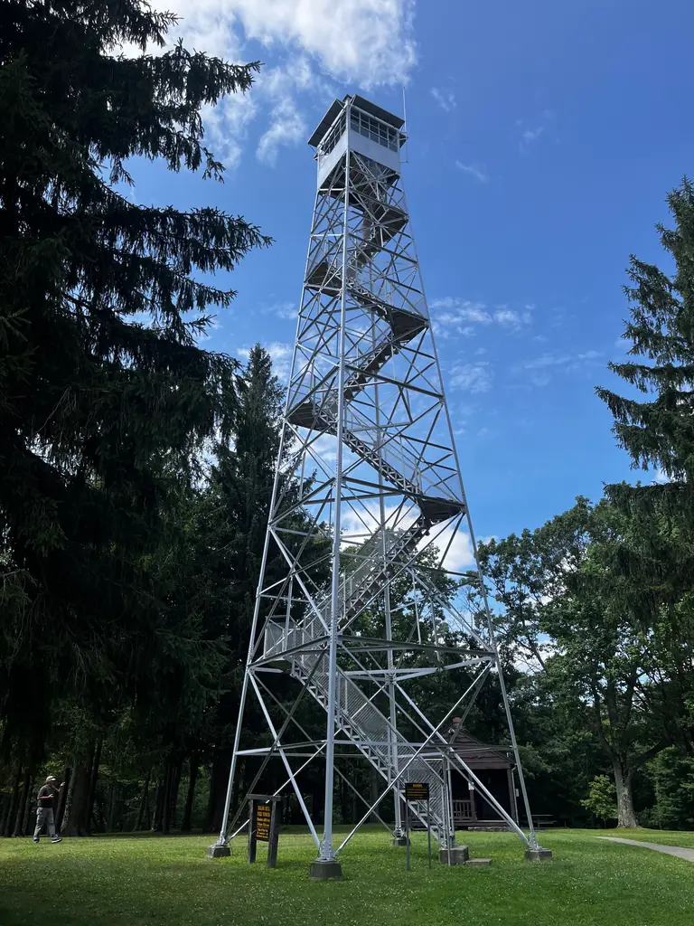
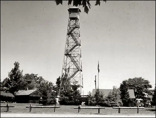
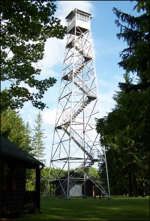
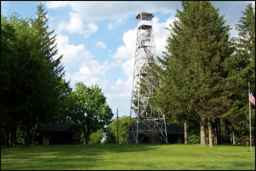
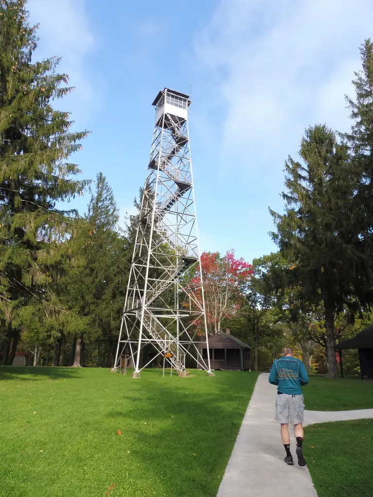
CCC-built 1941 steel fire tower in Sugar Hill State Forest, NY; staffed into the late 1980s. A state notice now says it is closed to the public.
- Standing
- Closed
- Verified
Closed
The site is closed to visitors. NYS DEC notice on its fire towers page: currently closed to the public. A hiking guide describes climbing to the level below the cabin, with the cabin closed
Visit & stay
Not rentable. As far as we know, this lookout cannot be booked for overnight stays.
Access
Closed. See the warning at the top of this page.
- Can you climb it?
- No
- Road to the top?
- Yes, you can drive up
- Trail
- Parking and trailhead at the Sugar Hill Recreation Area off Tower Hill Road, with the Six Nations trail system
- Staffing
- Unknown
Facts
- Status
- Type
- Cab on a tower67 ft 6 in International Derrick steel fire tower with a 1941 observer's cabinThe design: IDECO
- Built of
- SteelGoing by its design; no source says so in words.
- Built
- 1941
- Height
- 68 ft (20.6 m)
- Elevation
- 2,090 ft (637 m)
- Agency
- New York State Department of Environmental Conservation
- Land
- State land
- Location
- Schuyler County, New York
- Coordinates
- 42.38697, −77.00255
- Registers
- This entry
- VerifiedResearched, then checked independently. Updated 8 Oct 2026.
- Firefinder id
us-ny-sugar-hill
View from the cab
What you see from the cab: every ridge out to about 93 miles, the named peaks in sight, and other fire lookouts within view, worked out from terrain data in your browser.
Downloads about 3.7 MB of terrain data the first time.
Or see what it could see on the map: the ground in its line of sight.
History
Then and now
- 1941 BuiltErected by the CCC; NHLR gives a 67 ft 6 in International Derrick towerSources: nhlr.org, en.wikipedia.org
- 1951 StaffedVolunteer staffing ended in 1951 per NHLRSource: nhlr.org
- No record between 1951 and 1979
- 1979 Last staffedState staffing ended 1979 per NHLR; other sources put the end in the mid-1980s or after the 1988 seasonSources: nhlr.org, cnyhiking.com, en.wikipedia.org
- 1989 ClosedLookout operations ended after the 1988 season and the tower was officially closed in early 1989Source: en.wikipedia.org
- 1991 Added to the National Historic Lookout RegisterRegistered April 2, 1991 as US 16, NY 2Source: nhlr.org
- No record between 1991 and 2011
- 2011 EventFFLA restoration grant awarded for reconditioning rusted areas and structural joints of the 67-foot 1937 International Derrick tower, led by Bill Starr with NYSDEC Region 8; work set for September.Source: firelookout.org
- TodayStandingIt still stands, as far as our sources know.
Old maps of this spot
USGS topographic maps from the years a lookout stood may show it, often as a small symbol labelled “Lookout”. See the old topo maps around it on the Firefinder map, or find every scanned sheet of this spot on USGS TopoView (opens another site) (click the spot there to list them, with dates and downloads).
Story
Researched 8 Oct 2026, fact-checked.
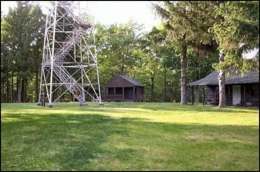
The Sugar Hill Fire Tower stands in Schuyler County, New York, within the recreation area of Sugar Hill State Forest.1,2 Civilian Conservation Corps crews erected the 67-foot-6-inch steel tower in 1941.1,3 Wikipedia places the tower on Sproul Hill and says the name comes from the reforestation area the tower sits in.3
Volunteers staffed the tower first, and the state took over later.1 The register gives 1951 as the end of volunteer staffing and 1979 as the end of state staffing.1 A hiking guide says the tower was used until the mid-1980s, when aerial detection had grown cheaper and more effective.2 Wikipedia says lookout operations ended after the 1988 season.3 New York began retiring its fire towers from spotting duty during the 1980s.4
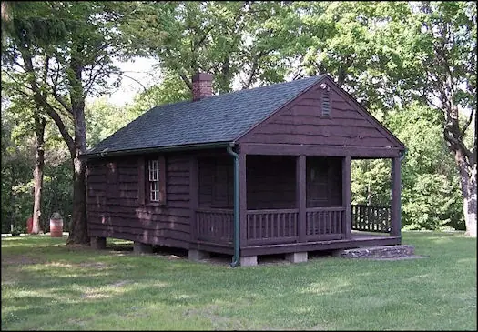
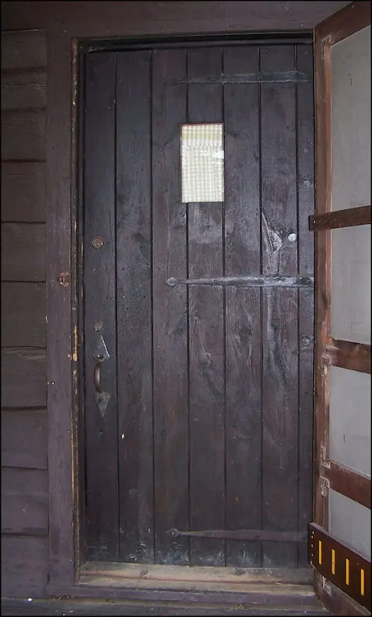
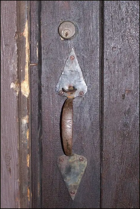
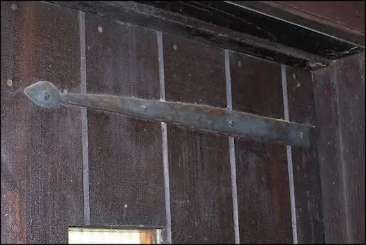
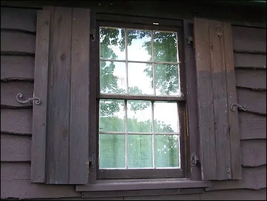
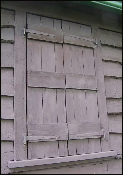
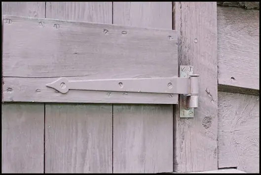
The tower was officially closed in early 1989.3 In 1990 the state shut down the final five towers still in use.4 A contributor's note on the NHLR page describes the 1941 observer's cabin beside the tower as in nearly mint condition and notes its original wrought iron door latch.1
The Sugar Hill Recreation Area, off Tower Hill Road, has parking, flush toilets, a picnic area and the trailhead for the Six Nations trail system.2 A hiking guide says people may climb to a point just below the cabin, but a state notice on its fire tower page says the tower is currently closed to the public.2,4
- Sugar Hill Fire Tower, National Historic Lookout Register, http://nhlr.org/lookouts/us/ny/sugar-hill-fire-tower/ (accessed 2026-10-08). ↩
- Sugar Hill State Forest, CNY Hiking, https://www.cnyhiking.com/SugarHillStateForest.htm (accessed 2026-10-08). ↩
- Sproul Hill, Wikipedia, https://en.wikipedia.org/wiki/Sproul_Hill (accessed 2026-10-08). ↩
- Fire Towers, New York State Department of Environmental Conservation, https://dec.ny.gov/things-to-do/hiking/fire-towers (accessed 2026-10-08). ↩
Photos
Photos keep their own rights and are shown with credit. Is one of these yours? You can ask for a different credit or for removal.
Sources
- National Historic Lookout Register (NHLR) (opens another site) Gave us: name, location, county, elevation, what it is built of, register numbers, agency, dates, photos, links National Historic Lookout Register (nhlr.org) · All rights reserved (American Resources, Inc.); facts extracted only, no prose copied. · retrieved 4 Oct 2026
- Forest Fire Lookout Association (FFLA) - US lookout lists (opens another site) Gave us: type, status, register numbers, links Forest Fire Lookout Association (firelookout.org) · No licence stated; facts extracted only, no prose copied. · retrieved 8 Oct 2026
- Map and Coordinates List for NYS DEC Firetowers (Andy Arthur) (opens another site) Gave us: ownership, links Andy Arthur, andyarthur.org (CC BY 3.0) · CC BY 3.0, credit: Andy Arthur, andyarthur.org. Facts + short description text reused under that licence. · retrieved 4 Oct 2026
- Forest Fire Lookout Association chapter reports (opens another site) Gave us: dates, links Forest Fire Lookout Association, chapter and restoration-grant reports (firelookout.org) · No licence stated; facts only (dates, names, the kind of work done). Every note is our own wording and every event links to the FFLA report it comes from. Positions are copied from the NHLR, FFLOS and FFLA records. · retrieved 8 Oct 2026
- OpenStreetMap -- fire lookout structures (opens another site) Gave us: links © OpenStreetMap contributors · ODbL 1.0. (c) OpenStreetMap contributors. · retrieved 4 Oct 2026
- Firefinder research Gave us: summary, design, height, status, agency, access, visiting details, dates, links, fact-check Firefinder research (sources cited in the story footnotes) · Our own research notes; each fact cites its source in the lookout's story
More about this lookout elsewhere
- NHLR register entry US 16 (nhlr.org) (opens another site)
- NHLR register entry US 16 (nhlr.org) (opens another site)
- Sproul Hill (Wikipedia) (opens another site)
- Sugar Hill State Forest (CNY Hiking) (opens another site)
- Fire Towers (New York State Department of Environmental Conservation) (opens another site)
- FFLA New York lookout list (firelookout.org) (opens another site)
- Forest Fire Lookout Association chapter reports: work on Sugar Hill Fire Tower (opens another site)
- Sugar Hill Fire Tower on andyarthur.org (Andy Arthur) (opens another site)
- andyarthur.org NYS DEC Firetowers list (opens another site)
- OpenStreetMap node 357602577 (opens another site)
Firefinder takes facts (places, dates, numbers) from these sources and writes its own words. See all sources and licences.